Lemlandsleden 25 km – hilltops and peasant sailing traditions
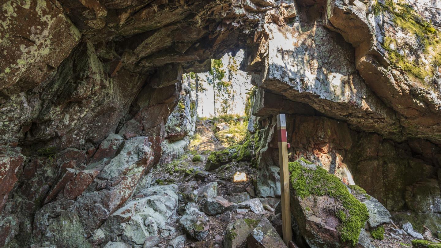
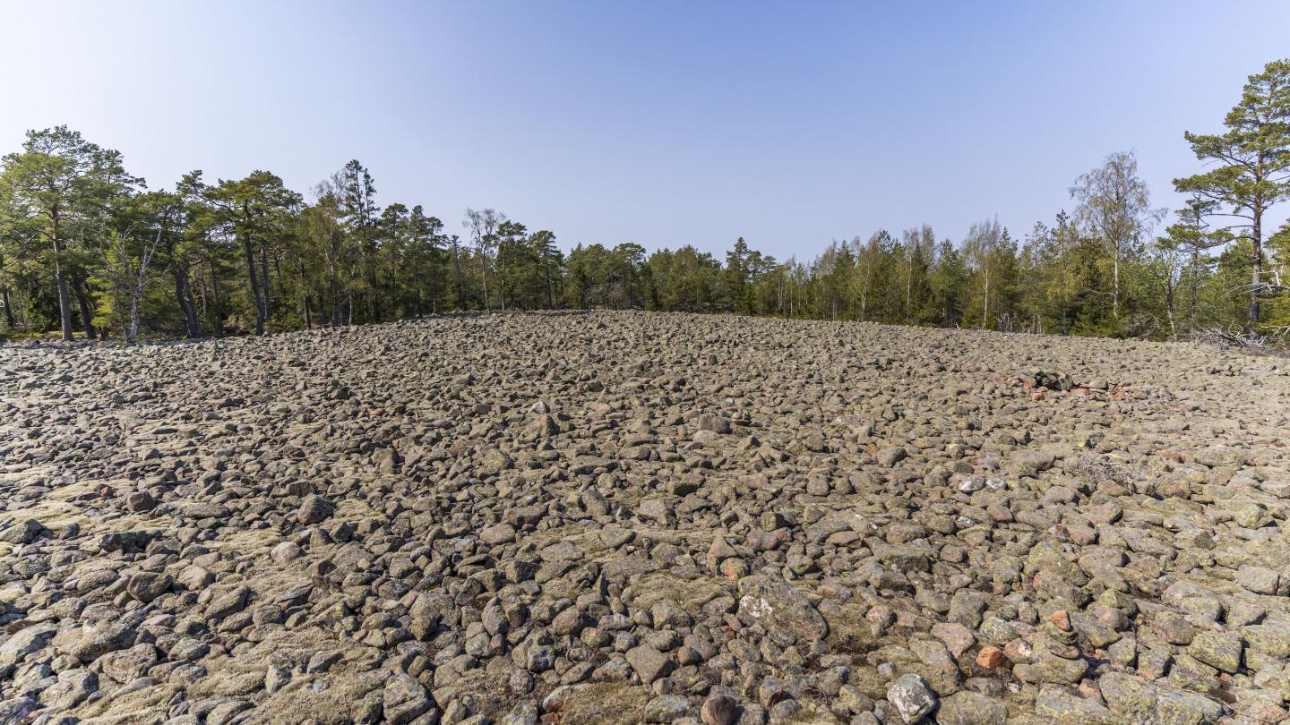
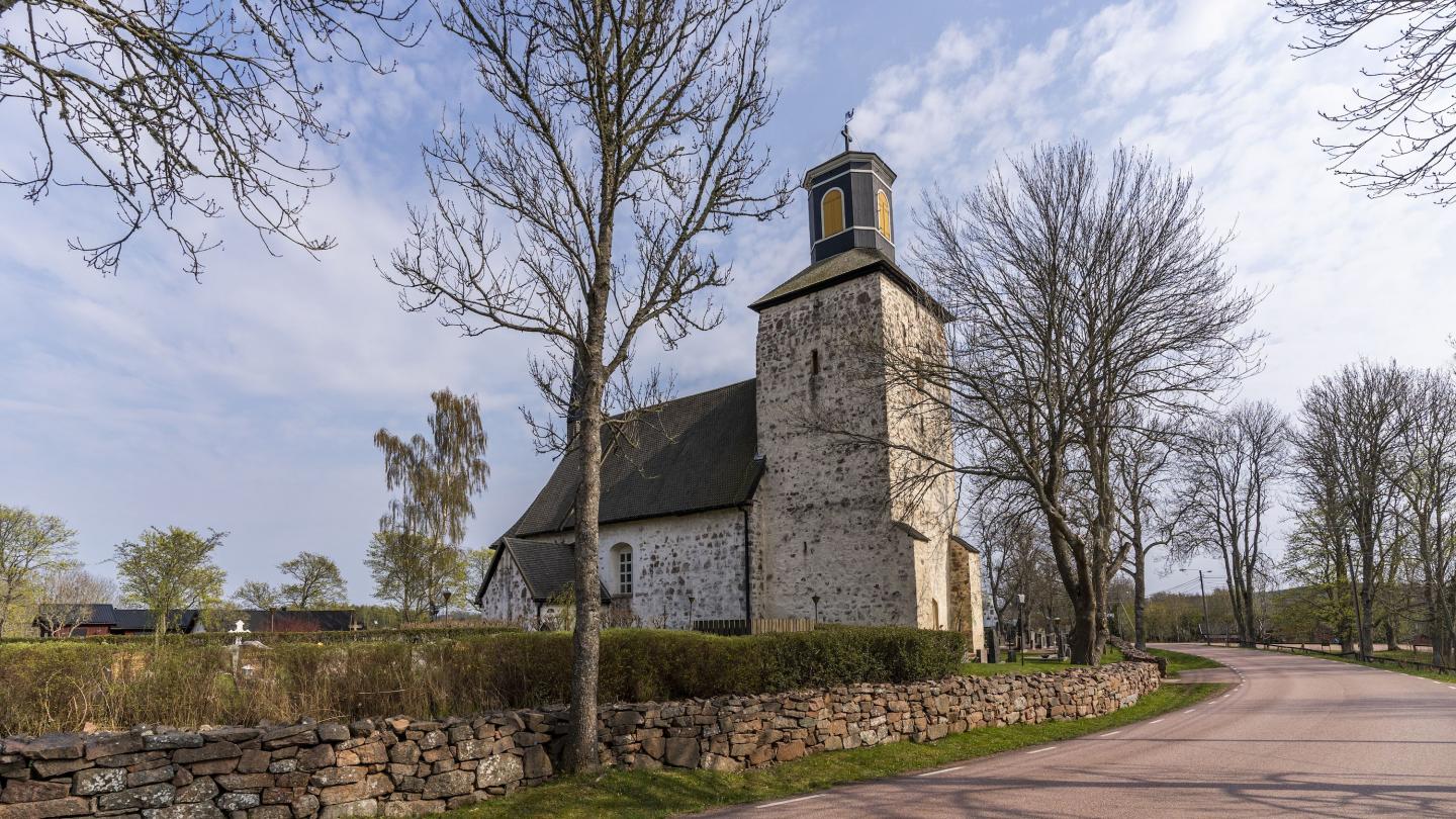
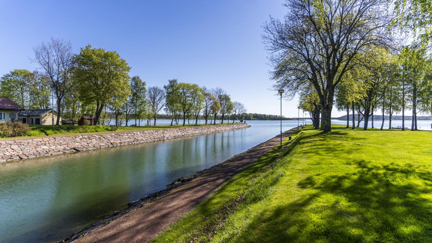
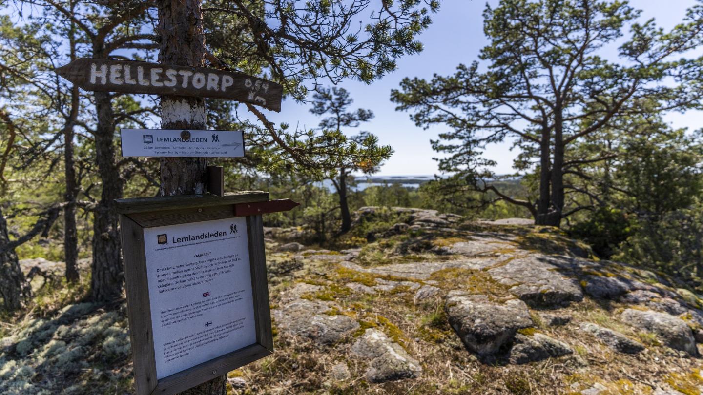
The trail between Söderby and Lumparsund goes up on Bistorpberget hill, 77 metres above the sea level. The view over the Lumparn is splendid, and there are large stone fields created by the inland ice. The trail passes Norrby and Granboda villages. Granboda farmers were diligent skippers in the 1800s, and shipping was important for the entire municipality. The farmer-shipping homestead Pellas with a cafë and museum is open for visitors during the summer. By the narrow strait of Lumparsund you can still see remains of sunk ship wrecks, including wrej of the schooner Leo.
Enjoy nature! Take nothing but photos, leave nothing but footsteps.
Length: 25 km
Location: Lemland
Terrain: Moderate. Varied terrain with rocky hills, forest trails and village roads.
Signposts: White-topped poles and white ribbons on trees, utility poles and stones.
Share your best hiking experiences on social media with #hikingaland
